February 15
Christchurch to Twizel
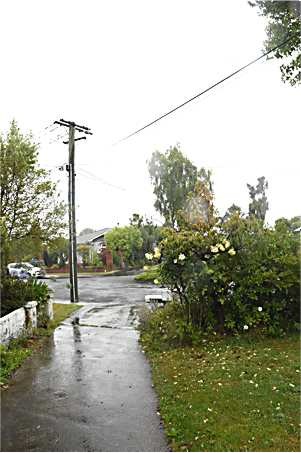
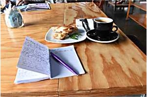
As we had breakfast, the rain grew heavier and, by the time I climbed into the car at about 09.00, it was very wet. The first hour of the journey was nasty, with lots of spray and lying water. The many heavy trucks threw spray over me and I had to reduce my speed considerably. By the time I reached Ashburton, 90 minutes later, the rain had eased. It isn't an exciting town but it has a good deli-cafe where I had a cheese roll (a delicacy from further South) and a long black.
 |
 |
|
|
 |
|
|
|
As I left Ashburton, it became brighter and drier. I even saw irrigators working in some of the fields but didn't dare stop on the main highway to photograph them. I turned towards the mountains, which were shrouded in mist but with no signs of rain.
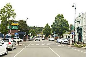
Geraldine is a small town, right on the main tourist route. It's main claim to fame for years has been as the home of Barkers, manufacturers of all things blackcurrant. They have now absorbed Anathoth, a jam and preserves company, and they make food of all sorts.
 |
 |
|
|
 |
 |
|
|
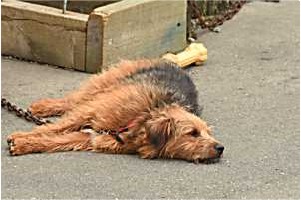
On the opposite side of the road was the local cheese company, where I bought some to give away as presents. I also admired next door's guard dog who had obviously had a hard day.
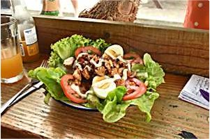
At the other end of the village is the Running Duck, a very retro cafe which I visited last time I was here. The hot chicken salad contained a large amount of very spicy chicken and a lot of green stuff. Surprisingly good.
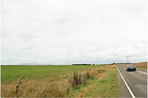
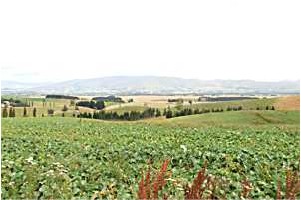
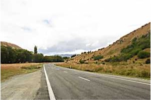
The road from Geraldine to Fairlie undulates gently, with much of the countryside resembling the more rural parts of England. There is a good viewpoint at what must be the highest point, after which the road descends into Fairlie.
 |
 |
|
|
 |
 |
|
|
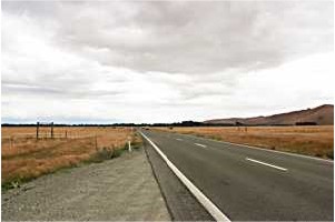
From there, the road starts to rise, passes over Burke's Pass and enters the heights of the McKenzie Country.
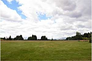
The grass became brown and there was some blue in the sky. I passed through Lake Tekapo, which looked busy but where the normally blue lake was rather grey.
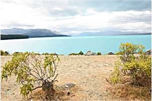
By the time I reached the Lake Pukaki viewing point it was brighter and the lake was blue - but there was no sign of Mount Cook.
 |
 |
|
|
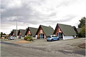
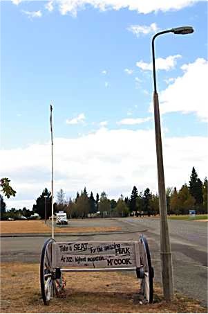
The final few miles to Twizel went quickly and I was soon checked into the motel. I last stayed here abut eight years ago.
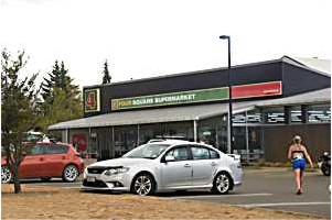
After a brief rest I walked into town, about ten minutes away, bought some milk at the smart new supermarket and perused the local restaurants. The Indian one had been recommended but it was fully booked. I settled for another one and reserved a table for 18.30.
Back at the motel, I watched the horrors unfurling on the TV News and realised that whilst I was in the same country it really was a different world.
 |
 |
|
|
 |
|
|
|
I returned to the cafe, was told that I couldn't have a rare steak, only a medium rare one! Feeling slightly ungruntled & not understanding the reason, I settled for salt & pepper squid and a lamb rump, washed down with a ginger beer. Very good but, being a skilled photographer, I had left my camera at the motel.
I ate a healthy apple for pudding and rang Valerie, to be told that there had been a big earthquake. Being down here seems to be rather safe at the moment. I organised my photos, sent lots of emails and had a good night's sleep.