| Go forward to Plimmerton road junction | ||||
|
||||
| Turn left to face Plimmerto railway station | Turn right to face Across Steyne Ave towards the shops | |||
| Turn back to face Northwest along Steyne Ave | ||||
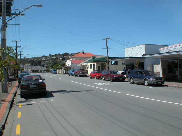
Steyne Ave
Plimmerton Village was settled by the Maori, who knew it as Taupo It was the home of a great Chief named Te Rauparaha, who was captured by the British in 1846.
In 1879 construction of the railway running north from Wellington commenced and by 1885, the neck of the eastern arm of the harbour had been bridged. A sheltered sandy beach 2 km to the north, west-facing, with a view of the harbour entrance, became the focus of a village named after director John Plimmer (whose family has been prominent in business and political circles in Wellington over two centuries). In 1894 the family built the 32-room Plimmerton House, an accommodation and refreshment stop right beside the railway station platform with the beach a stone's throw beyond.
By 1900 about 30 holiday cottages and a general store and two private hotels had been built. In the 1970s there was considerable development to the east, overlooking the eastern arm of the harbour, which occupied most of the remaining farmland. This became the suburb of Camborne. Paremata, which contains the nearest motels, shops, supermarket, pub and other local services, is situated along the harbour a few minutes walk from Plimmerton.
View Plimmerton Village from all angles
Home Page · Where is Papakowhai, Paremata & Plimmerton? · Site Map · Acknowledgements · Contact
© Copyright Meyricke Serjeantson 2002. Last updated 15 December 2002.
Created using Touroid Virtual Tour Creator
![]()